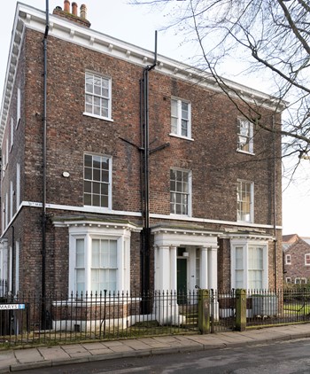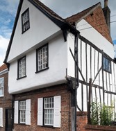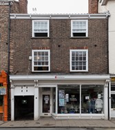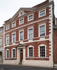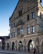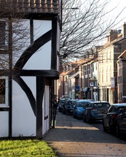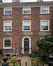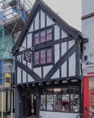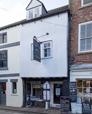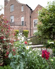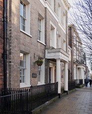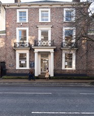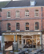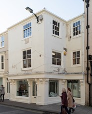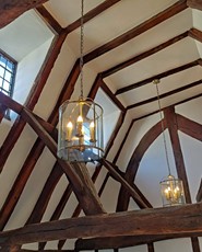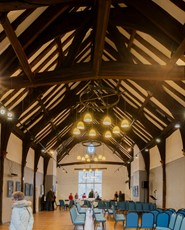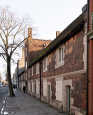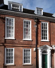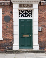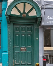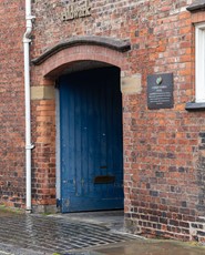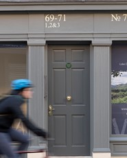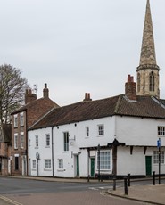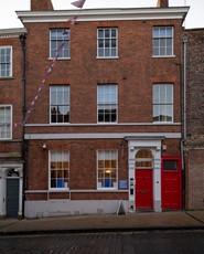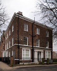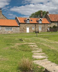

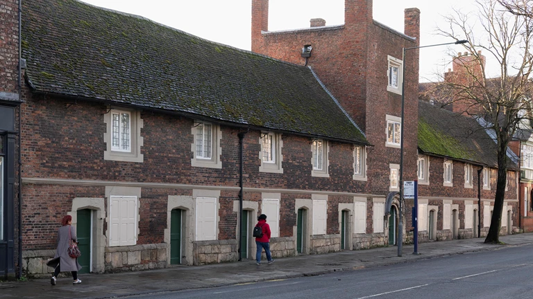
Wherever you are in the City of York, you probably won’t be far from one of our buildings. From some of our most iconic and historic sites, to more contemporary residential flats and townhouses, we support a wide variety of York’s built heritage.
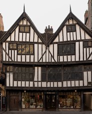
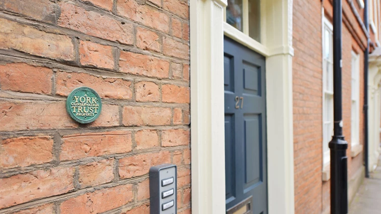
York Conservation Trust has over 70 properties, or groups of buildings, many forming an important part of the north’s rich architectural, cultural and social history. Today, our buildings remain, as they have always been, the homes, businesses, places of entertainment and worship for people who live and work in our city.
Ensuring historic buildings have productive and useful lives
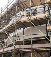
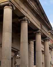
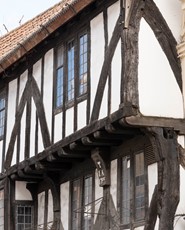
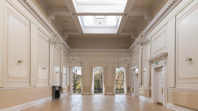
With a current population of around 210,000, York has around 2,000 listed buildings. That’s 8% of all the most important buildings in England, so we know a thing or two about conservation and how to help ensure historic buildings have productive and useful lives.
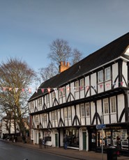
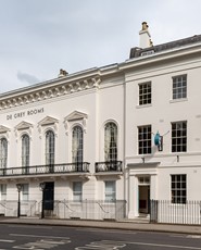
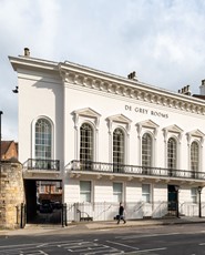
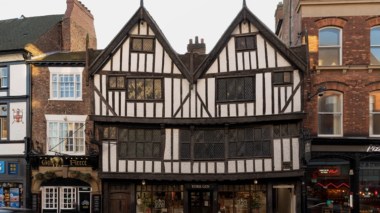
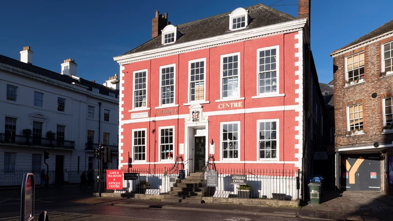
Explore Medieval, Georgian and Victorian York
Use our map and search filter below to find the buildings that interest you. There’s plenty of information on each of our buildings here on our website, with fascinating insights into the lives of the people that worked in them or called them home. All largely centrally located, why not put together your own walking tour?
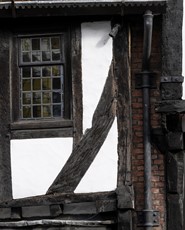
For a more complete understanding of the historical significance of any of our buildings, you’ll also find their accompanying Statement of Significance. These downloadable documents offer an in-depth study of their architectural importance. We are gradually adding our buildings’ Statements of Significance, so please check back or contact us if you don’t find what you are looking for today.
York Conservation Trust began as the idea of two brothers during the Second World War. Find out about the Bowes Morrell legacy.
Meet the people who guide and work in York Conservation Trust today.
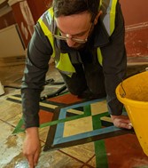
Learn about the impact of our changing climate on historic buildings, how we’re helping to tackle climate change and what that means for our buildings.
Please use the radio buttons to define your building search for period and use below. You can also use the map tabs to move between their map locations and a full grid view listing of all the properties on our site.